Taconic-Hereford 909
I've have been meaning to get back here for a couple of years. I had ridden
Mustang and
Mercury a couple of times and ages ago rode
Byk Head with my son but I've always had the trails
Whacamacallit and
Timbuktu on my radar!
This is on my way to my parents house so I took Friday off of work to spent some quality time here. The map I made a while back I knew was not that accurate so it was just as important to explore and document as it was to bike.
Destination: "Whachamacallit"
My frist destination was
Whachamacallit so I just stayed on the fire road. It was a long uphill climb (one of many more climbs to come!) and I saw a snake along the way!
Whachamacallit was great - lots of rugged terrain and the trail really was well planned - tight single track, lots of squeezes thru the trees and short but rigorous up and downs. I was exhausted by the time I reached the fire road!
 |
| I veered to the left to stay on the fire road |
 |
| Fire Road up to "Whacamacallit" |
 |
| Here's where Whatchamacallit turned off |
 |
| One of Whachamacallit's many terrain features! |
 |
| Tight Single rack! |
 |
| Back to the Fire Road (Whachamacallit ends) |
 |
| Bummer! |
My Camelbak started leaking on me - turns out I had apparently lost the little spigot someplace on
Whacamacallit! I had to clip the tube onto the Camelbak strap in an upward position to prevent it from emptying all over me!
Burn Trail and Timbuktu
I then slugged back on the fire road. After a steep hike a bike on the first stretch of the fire road, much of the rest of the trek back on the double track was downhill and a welcome relief!
Once on
Burn, I stopped to photograph a deer who was staring at me but just as a got my finger on the shutter button, she dashed away!
 |
| Rode back the fire road and turned on the Blue (Burn Trail) |
 |
| Burn Trail |
 |
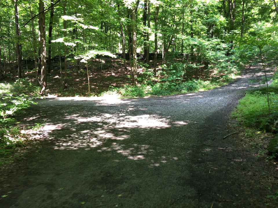
| A little confused at the end of Burn... |
At the end of
Burn its a little confusing when it intersects with the Fire Road. After going the wrong way for a bit, I realized the start of Timbuktu was in the other direction and got on it shortly thereafter...
- Timbuktu-
By this time it was 1:15 PM and the afternoon was hot and incredibly humid.
Timbuktu is a rough and challenging trail (especially the first third of it) and I was wheezing like a man nearing the end...
Rugged terrain, the occasional rock 3ft drop and/or rough roller, lots of ups and downs and some surprises of super tight curves made this trek tough for me. But--needless to say--I enjoyed it. This is what makes mountain biking so much fun--being deep in the woods with nature and constantly strategizing how to not fall down!
At one of my (all to) frequent stops to rest, I chatted with another biker who came thru - it was the first person I saw in the whole park!
The last half was much easier and had great flow--cruising along ridge edges, weaving thru trees, etc. It also was a more descent than ascent! :-)
 |
| Great trail -- there's a half pipe at the end of the log! |
 |
| Rugged terrain |
 |
| Had a chat with Larry here |
 |
| Timbuktu is a beauty! |
 |
| Rocky terrain challenges... |
 |
| ... Close up |
 |
| Slick Rock (steeper than in looks but do-able) |
 |
I stopped for a break here -
the stump was a nice place to sit and catch my breath |
 |
The last section of Timbuktu was flat
(actually a long stretch uphill but after all the previous uphills, this was easy!) |
 |
| The Rutted Fireroad and the end of Timbuktu |
The dirt road at the end of
Timbuktu was a rutted mess. I took a right turn realizing I had better head out at this point.
Anthill and Tunnel
I then took the first trail I found on the right but it wasn't very clear where to go as it apparently wasn't used that much. I ended up on a rutted 60ft descent but at the bottom I got on a legit trail and started sailing downward. It was fantastic -
"super flowy, wind in your face, go as fast as possible without a worry" ride for the next 10 minutes or so (crossing Brockway was the only time you had to slow down). Woo Woo - what a release!
Heading Back Out...
Once at
Mustang, I recognized where I was and headed straight out. Stretches of the snowmobile trail were wet and muddy but manageable.
 |
| Back at the Tyrrel Parking Lot... |
 |
| Muddy, Bloody, Drenched in Sweat and Exhausted! |
All in all a nice exploration - but I never got to Byk Head! - Oh well, next time!