Friday, December 23, 2016

Luther was rough today!

In the parking lot, I asked a hiker -- just emerging from the trails: "How are the trails today?" His reply "Icy under a thin layer of snow-- No dead biker bodies or bike bits strewn about so go have fun!!"

I charged on in and discovered even the South Loop was tough. A groove set by a fat bike was frozen solid ice and a good amount of random snow built up here a there on the trails made the ride a lot harder than usual. I ended up bailing halfway thru the the South Loop and headed back to do some of the trails north of the ravine instead.

Some of the trails on the north side were virgin -- I was the first to ride them!! Needless to say  despite being a bit exhausting, it was exhilarating. Luther is so peaceful in the winter.


Saturday, December 3, 2016

Local TM

Nov 25th

I have been working on keeping the leaves off the trail (that's a non-stop job this season, yikes!). Today I met a park abutter who came out and introduced herself and said she likes the trails and wanted to thank me for them...

This tree fell down few years back (I think it was Hurricane Irene...)
Roots (dirt and stones...)

Dec 3rd - New Trail up on the hill completed

A little more challenging side loop at the top of the hill was finally finished today. The ramps took a long time to build but it will be a fun short section to ride :-) Met another local mountain biker in the park today who will be riding and enjoying the park as well  - all is well!
(Yellow Tint added to accentuate the trail)

Dec. 7th

I tweaked the new trail a bit (curves were too sharp).

Sunday, November 27, 2016

Dantown (Laurel Reservoir Ruins Exposed - Part 2)

I went back up to Laurel Reservoir late in the day to check on how low the water was. It wasn't the best time to take photos as the sun was in my face but the water was extremely low and even more ruins were exposed than last time. (Oct 30th Visit > )
Exposed ruins (from afar)
This was one of the old roads (usually underwater)
In the upper right, you can see remnant of an old bridge 
From Trinity Pass Road  - looking southeast 
From Laurel Road - note wall 
From Laurel Road
general overview of how low it was

Saturday, November 12, 2016

Woodway Leaves

Hard to tell from these photos but I raked the trails at Woodway. The woods were looking beautiful in the autumn light...

Saturday, November 5, 2016

Pequonnock Valley Pleasures

Today was a productive and pleasurable day at Trumbull. In the morning, an FCNEMBA trail maintenance session totally revitalized the connector trail at the North Bridge. In the afternoon I mountain biked and the weather turned nice and sunny and warm... ah the good life!

Trail Maintenance at the North Bridge Connector

The heavily trafficked connector trail between the North Bridge and the White Trail has been problematic mainly because the bottom part of the trail washes out every once and a while. It was actually in the path of where runoff from the streamlet to the north cascades to.

Three times is the charm!

  1. Way back in 2010 - we diverted the runoff path and curved the trail a bit more (see Posting >)
  2. Then back in Feb of this year - a quick fix was made to the massive amount of mud that spewed down after a huge rain storm (see Posting >)
  3. This time, a concerted effort of close to twenty people, showed up and the work we did was excellent and should stand the test of time (and massive spring wetness!)

The streamlet was deepened and widened, a embankment was built up the prevent overflow and the trail itself underwent major surgery with rock armoring, choke stones and serious grooming.

As important - it was a blast to bomb on the bike both ways when I returned for my afternoon ride!

Mountain Biking (history revealed)

I headed back out after lunch and rode a good portion of the park. The abutments for the old bridge looked very crisp in the Autumn light.

I also revisited the waterworks I discovered last December (previous post) and...

...later on, spent a few quiet moments at this perfect resting place, just a tiny bit south of Turtle Rock.
 Its a great area and the moss on the granite outcroppings was beautiful...


Sunday, October 30, 2016

Laurel Reservoir Ruins Exposed

The Stamford Area (actually all of the NY metropolitan area) has had a shortage of rain this year. Warnings on the radio and local news stations remind us to conserve water. The reservoirs are very low.

Of course for me that meant “time to explore”! There might be some historic remnants of yesteryear exposed in the local empty reservoirs! Sure enough - a trip to the Laurel Reservoir revealed quite a few ruins and old roadbeds that were normally underwater.

The map below is a 1947 topo map with the roads from an 1898 map superimposed on top. Old roadways and foundation ruins were photographed and documented where indicated on the map.  It was productive excursion! :-)
1908 Map - showing roads and residences
Note: There was a mill!
Source

A on the map

A stone wall - most probably an embankment support for the old road that went across.

#1 on the Map

Ruins - these are visible from the road as you drive by.

B on the Map

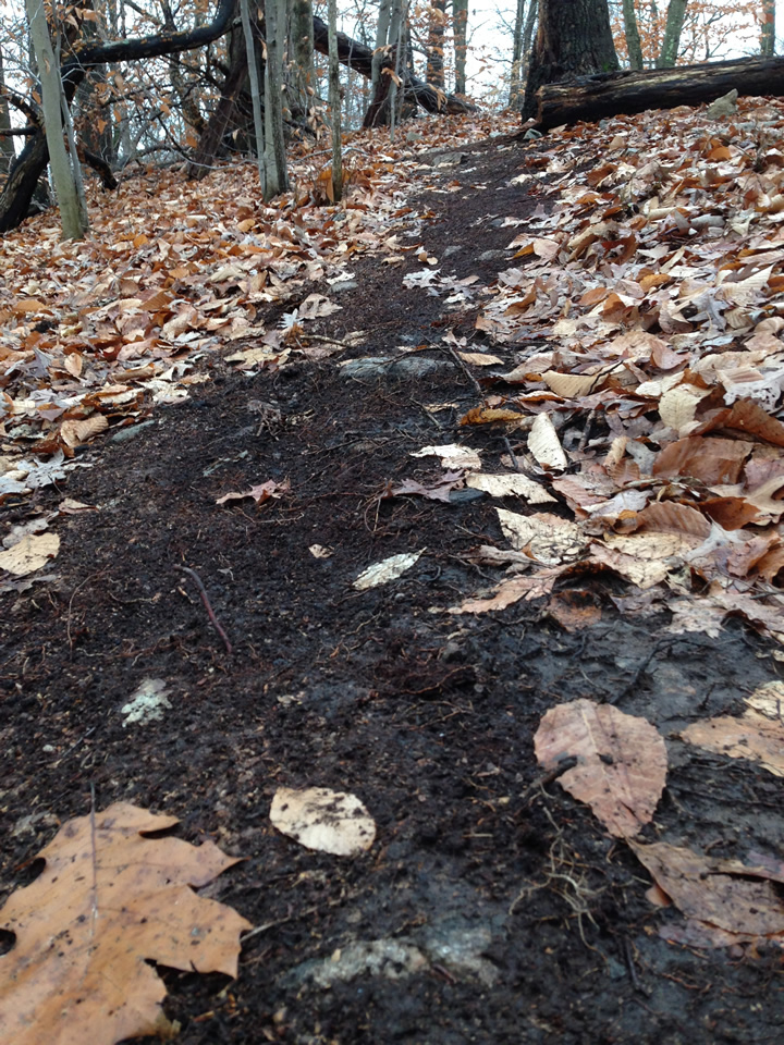
The former road veers off and descends here.
 It continues across the now dry reservoir bed (kinda hard to see thru the trees)

#2 on the Map

I found an extensive array of foundation ruins - even the steps that went into the house!
Note the curvature of the stone fence behind the foundation ruins

C on the map

On the other side of the reservoir - the old road bed was visible as well. Peering out into the semi dry reservoir bed reveals the old roadbed stream crossing and the junction of the two roads...
Enlarge this to see the abutments for the bridge
(stream crossing) 
Here is where the roads intersected

#3 on the Map

Going a little further south - you can see another foundation exposed...


ADDENDUM

The old road north of the reservoir was visible from Trinity Pass Road (These are a Google Map Street View and Aerial).

Further Info

Apparently I discovered the "Atlantis of New Canaan"!

DantownThe village was at its most robust during the 1850s, as it became renown for producing were baskets, shoes, hard cider and hearty potatoes. In fact, 80 families in the Dantown area were involved in the basket-making trade at its peak.
In 1923, the stone remains of the community were submerged by the water company to make way for a 265-acre lake known as the Laurel Reservoir.
source
There is reason for this street name :-)