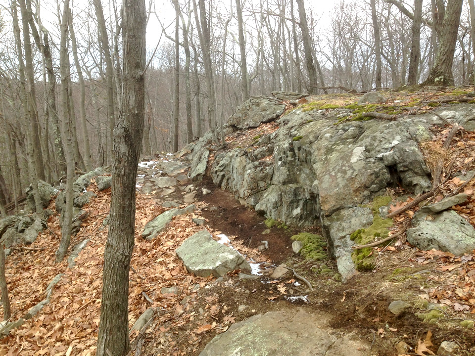
Saturday, February 25, 2017

Wooster Mountain - Green Trail Mapped

On my last hike here I was frustrated and perplexed that I missed the intersection of the Green Trail with the Orange Trail so I returned again today to try and resolve it!

I parked at Starrs Plain Road and hiked up the Ives Trail. The weather was overcast and foggy but at least it never rained!

Up the Ives Trail

This stairway right of Route 7 is where I started the hike up the mountain. The Ives Trail is  pretty steep for a while but the incline eventually tapers off a bit.

At the first intersection, the Green Trail goes off to the right. I kept to the left and stayed on the Ives Trail but this intersection is where I rejoined on my final loop back. 

The Green Trail

The next intersection is where the Green Trail goes off to the left. It winds uphill twisting and turning for quite a while and obviously is tailored for mountain bikers as there quite a few enticing terrain features along the way.
There is a intersection here which I later back tracked to.  The Green goes to the right, the left turn is the yet unblazed loop which travels around the pond. (See the Pond Loop below)
I continued on the Green Trail - it looks like a great trail (especially on descent :-)
Near the top there is this wonderful mossy rock which has been turned into a roller!
Ah finally - I got to the intersection of the Orange Trail. Main "mission accomplished" - this was the spot I was looking for!

I turned around and headed back down the Green to check out the Pond Loop. On the way, I noticed a spot that could have been an old carriage road.
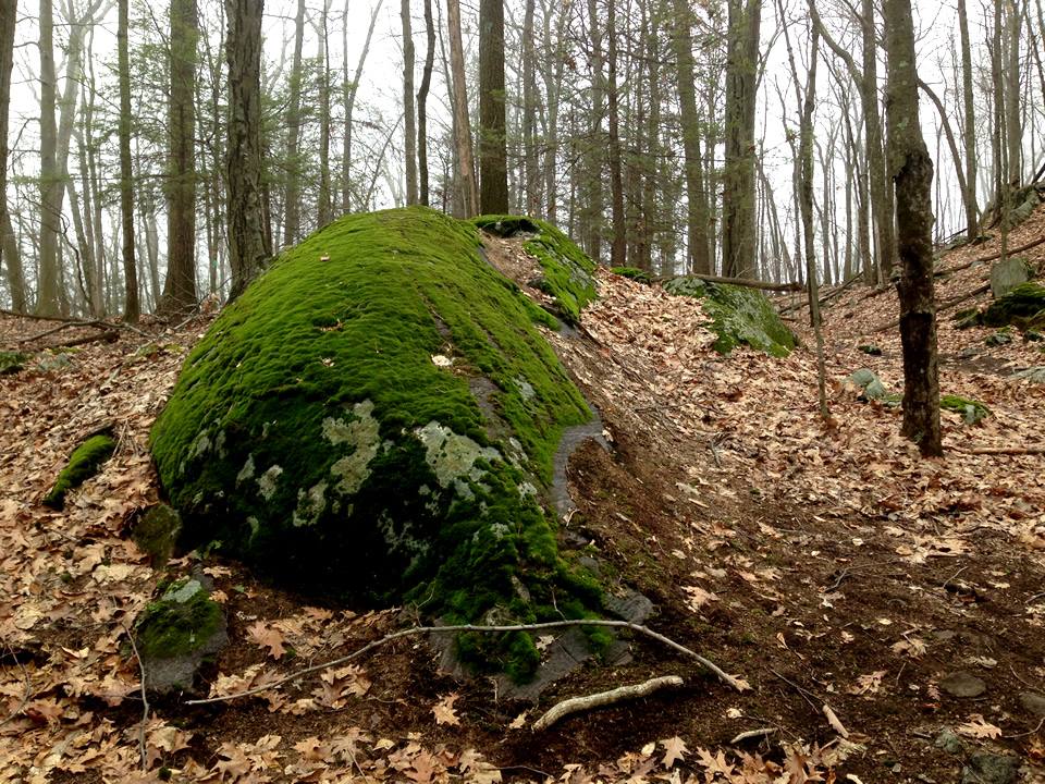
The Pond Loop

This trail meanders around the Pond and has a myriad of biker terrain features.
3 photo panorama
The map is correct - as of now it stops short of reconnecting with the Green but considering there is only another 50 of so feet - I imagine it will soon connect. :-)

The White Trail

I hiked back on down to the Ives and then went west on the Ives until I came to the intersection of the White Trail which veers off to the right. This is not biker friendly although there are a couple of scenic stretches here and there.
White veers of the the right
Nice scenery looking back
This short stretch might have been an old carriage road
The rocky stream bed

Intersection

As you hike clockwise on the White, you get nearer and nearer to the Gun Club. It a little annoying cuz you hear gunshots the whole time which become louder and louder as you get closer. At this trail intersection, I turned uphill to reconnect with the Ives and head out. Staying to the right heads you downhill to the Gun Club. The trail uphill is blazed Green.
The Green is heading uphill

Back on the Ives

Nice little stretch of trail near the final descent. Of course within a few minutes the sun started coming out! Oh well - I'll be back!


Wooster Map Trail Map (so far)


Thursday, February 23, 2017

Gnarled Trees - Mianus

Gnarled trees along the East River Trial - Mianus Park

Burl
Bump
Slingshot

Protuberance

Sunday, February 5, 2017

Blue/Red/Yellow Trails (Wooster Trails)

Something felt wrong about my hike yesterday when I tried to map it. The Green/Orange trail trek just didn't seem to match the map and I was curious about the other trail I saw shoot off to the west near the bottom of the long descent. I was so curious that I had to return the next day and resolve the mystery!

I hopped into the park the same way as yesterday, parking off Route 7 and waited for the traffic light to cross over.

Blue Trail

I turned off at the intersection of the trail near the bottom that piqued my curiosity yesterday. It was blazed Blue.
Its a wonderful trail...
At the intersection 

Red Trail

At the next intersection, I took a right and hiked the Red Loop (MapMyRide GPS). This loop was a really nice tech feature-filled trail for riders...

Panorama of the area
(click to enlarge)

Yellow Trail

The Loop took me back to within 15 ft of the first intersection and I then continued up hill on the Yellow.
At this spot, there was a pretty step and crazy downhill trail that crossed over the trail. I stayed straight.
intersection
Further on, there is a short stretch that's pretty cool
Rocky Cut

Orange  Trail

Shortly--once around the corner--you meet up with the main Orange/Green Trail, but the intersection is hard to tell!
The intersection is not that clear...

While heading back down on this trail, I met another hiker who joined me for the trek down. It was nice meeting someone who enjoyed the hike as well.


Old Carriage Road

Once near the bottom, I remembered this remnant of a carriage road from my trek yesterday and I snapped a photo.

Blaze Summation

Well I---more or less--satisfied my curiosity re the trail blazes on Wooster Mountain (at least south of Ives Trail). Although there is missing data still: "exactly where the Orange/Green trail turns into just Green?" If I recall, on Saturday I saw a trail veer off to the north while descending but I failed to note it today (too busy blabbing!)... but I'll be back to continue my "research". It's a great park!