Showing posts with label Stamford CT. Show all posts

Friday, June 26, 2020

To the Cove and Back

Tonight after dinner I rode down to the Long Island Sound and visited Cove Island Park (Stamford CT). With daylight lasting until 8:30 - 9 PM it's a lost opportunity if I don't ride!

The weather was especially nice and it's truthfully an easy ride with a minimum of hills (yeah maybe I was a bit lazy as well :-) )

I like to pop in down by the river in the Springdale in the industrial area where I often see a deer. Sure enough...
He was a curious one!

Cove Island Park 

Once the site of a large industrial mill complex, remnants of yesteryear are still present.
We used to come here a lot when we first moved to Stamford. Before I "discovered" the woods and mountain biking, the beach was often our weekend destination.
What's the big deal about this spot? This is where our son first rode his bike  - it was a magical moment for sure... 
That's a dam across the pond - Greg (our son) with his wild friends, in typical teenage rambunctiousness rode over it with our canoe - YIKES!
My son and I used to sit here at this rocky spot and chill (great memories...)
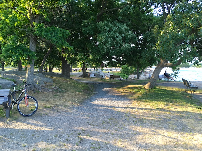
It's a beautiful relaxing place...
On the rode back home, I stopped to film a few proud geese "strutting their stuff"

Further Info

Stamford Manufacturing Co. 
Started in 1792 as a small tidewater gristmill on the eastern edge of Cove Island, it grew to become Stamford's largest industry and the world's largest dye extracting concern. 

At its peak in 1890 it employed about 500 workers, with state-of-the-art facilities on 70 acres at the Cove, thousands of feet of mechanized wharves hosting big deep-sea schooners, a shipping company with four schooners, and a number of houses on Weed Street.

Monday, May 25, 2020

An "Urban" Bike Ride

Monday was a beautiful and I got a late start to getting on the bike: 4pm. Deciding to do something a little different today I ride down to the Mill River Park in Stamford and then continued on to Scalzi Park. There were quite a few people out enjoying the sunshine but everyone seemed fairly respectful of social distancing.

I then rode west on Cold River and on all the way up Stillwater Road before finally circling back to  to Springdale via Cedar Heights, Turn of the River and Intervale Roads, etc. There were quite a few side excursions as well.
Rippowam River
Needless to say a couple of hours on the road bike on a beautiful sunny day was fun!

Sunday, October 30, 2016

Laurel Reservoir Ruins Exposed

The Stamford Area (actually all of the NY metropolitan area) has had a shortage of rain this year. Warnings on the radio and local news stations remind us to conserve water. The reservoirs are very low.

Of course for me that meant “time to explore”! There might be some historic remnants of yesteryear exposed in the local empty reservoirs! Sure enough - a trip to the Laurel Reservoir revealed quite a few ruins and old roadbeds that were normally underwater.

The map below is a 1947 topo map with the roads from an 1898 map superimposed on top. Old roadways and foundation ruins were photographed and documented where indicated on the map.  It was productive excursion! :-)
1908 Map - showing roads and residences
Note: There was a mill!
Source

A on the map

A stone wall - most probably an embankment support for the old road that went across.

#1 on the Map

Ruins - these are visible from the road as you drive by.

B on the Map

The former road veers off and descends here.
 It continues across the now dry reservoir bed (kinda hard to see thru the trees)

#2 on the Map

I found an extensive array of foundation ruins - even the steps that went into the house!
Note the curvature of the stone fence behind the foundation ruins

C on the map

On the other side of the reservoir - the old road bed was visible as well. Peering out into the semi dry reservoir bed reveals the old roadbed stream crossing and the junction of the two roads...
Enlarge this to see the abutments for the bridge
(stream crossing) 
Here is where the roads intersected

#3 on the Map

Going a little further south - you can see another foundation exposed...


ADDENDUM

The old road north of the reservoir was visible from Trinity Pass Road (These are a Google Map Street View and Aerial).

Further Info

Apparently I discovered the "Atlantis of New Canaan"!

DantownThe village was at its most robust during the 1850s, as it became renown for producing were baskets, shoes, hard cider and hearty potatoes. In fact, 80 families in the Dantown area were involved in the basket-making trade at its peak.
In 1923, the stone remains of the community were submerged by the water company to make way for a 265-acre lake known as the Laurel Reservoir.
source
There is reason for this street name :-)