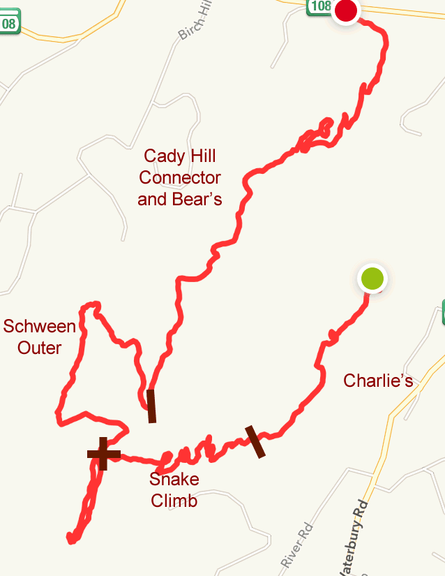
Sunday, August 28, 2016

Trapp Family Trails


The Lower Trails

On Sunday, I rode the lower trails in the early morning, starting with a quick bomb on the easy Greenway (which was closed halfway so I guess the cows could graze!), then I rode Stepping Stones, the Aither trail and Chuck's Corkscrew in both directions. Great trails - especially when ridden fast :-)

For the rest of the morning, I went out for a hike with my sister over at Waterbury to check out the abandoned settlement there.

In the mid afternoon, I hit the lower trails again, this time also riding the Sleigh Road to get over to the brewery area. That has a huge descent/climb but it got me to the top section of Pipeline which I rode all the way up to the road. Someday--if I am brave (or crazy)--I  will attempt the full descent to the High School but a car waiting for me at the bottom would be a necessity!

Basic Trail map of the area
This is a map form last year...
Small waterfalls off Sleigh Trail

Lodge Spur, Luce Hill and Tapline

Monday Morning, I climbed up Lodge Spur, rode ALL of Tapline and on return, did the Luce Hill Loop. 
Descending Tapline and riding Luce Hill Loop

Tapline and Luce Hill Loop

Descending Lodge Spur
Lodge Spur
Certain sections had a lot of lines wrapped around trees - Maple Syrup in the fall!
Tapline!
Upper Tapline was tough! The switchbacks were very tight and after he climb for one stretch of about 5 switchbacks I was winded. (But of course the way back down was crazy!)
Upper Tapline
Yikes! this was tough - many tight switchbacks
My destination was a new trail called Growler that continued up the mountain. Bummer - I couldn't find where Growler started so I headed back :-( (I found out later it required a ride up further on either of the Parizo Trails)

Took a spill on Luce Hill Loop...
Oops!
All in all, I had some great rides and these trails are wonderful...

Saturday, August 27, 2016

Cady Hill Revisited

On Saturday, on my way up to the Trapp Family Lodge, I stopped for an afternoon ride at Cady Hill. The parking lot was packed!

Part One 

I rode up to the Green Chair Overlook and stopped to chat with a few other mountain bikers.

The weather was kind of hot but not too bad. The problem was it was pretty humid in the woods...
Green Chair Overlook
Pausing on the Snake Trail ascent
Looking down on some of Snake Trail's switchbacks

Part Two

After ascending Snake, I decided to check out the Schween Loops and a couple of bikers I talked to recommended the outer loop (rather than the inner). It was pretty hard but doable if you knew the trail. A combination of a steady climb along with an unbelievable amount of roots and moguls made it tough going. Fortunately once you finish that slog, there is a rapid fairly flowy descent. Ooo yeah!

The rest of the ride out was an amazing bomb on mainly super flowing contoured trails. The final descent on Bear's is truly unbelievable  - it is hard to imagine you have ascended that much as the descant seems to go on forever! :-)


Further Info


Friday, August 19, 2016

Burlingame North

I returned on Friday morning to check out the trails in the north section. I parked in the north lot and rode the small but gnarly and hilly section just south of the road. It is hard to tell from the ride maps below but these trails are tough! Lots of sharp switchbacks, slick rock, frequent ups and downs and a huge array of rocky terrain challenges dot the woods throughout this entire section. Despite my best intentions, much to my frustration, I went around in circles and repeated a few sections. Everything is really tight thru here. I was quickly exhausted. :-(

I finally got on the trail that sweeps northeast (part 2) - it was a long gradual uphill. The bonus was on the return back - I hardly had to pedal - gravity just took over for me :-)

I rode back to the car and decided to cool out by riding north on the jeep trail out of the parking lot but there were bugs constantly swarming around my face so I made it a short excursion (part 3).
Part 1

Part 2 Elevation

A Couple of Terrain Features
This is an amazing slick rock section that curves around behind the rock
For the daring freerider only
(I walked it!)
At the end of "part 2", the trail continues on the left
As mentioned, I was tiring quickly (the hot weather didn't help), so I decided on a whim to drive north to Coventry and ride the dirt section of the rail trail there. That was great! 

See Summit Trestle Trail Post  >


Thursday, August 18, 2016

Big River - Tarbox Pond

I decided to head back here one more day and try to ride some of the other trails (there are so many!). I made it to Tarbox Pond and headed back out on the western trail. Much of this ride was easier with less climbing than the previous days but it was great ride nevertheless.

I GPS'd this is in three parts.


Photos

Old Fireplace
Moguls (been here before!)
Sweet Trail!
Marsh/Pond
Abandoned Building near the big marsh
At the Rocks by Tarbox Pond
Wounds of Riding :-)
Two more maps to indicate the myriad of trail choices and the elevation:
My ride overlaid on Open Street Map
My ride overlaid on a Topo Map

Wednesday, August 17, 2016

Return to Big River

After my Big River super hot and humid ride on Sunday, I was anxious to return and explore more of the trails. I tried to follow the IMBA recommended ride (MTB Project Map and Info) but with the huge amount of trail choices and no signage and very minimal blazing, I ended up just "following my fancy". Needles to say, no matter which trail you choose, it is all awesome here!


This map is my ride layered on top of the Open Street Map. It really shows how many trails exist here - it's mind boggling!
Open Street Map (layered)
This topo version helps understand the elevation changes.
Topo 
Elevation Charts (I GPS'd the ride in three Sections)


The slow ascent on the Red Trail has many short rocky sections. Tough to stay on the bike for a first timer here!
The Red trail has lots of short tricky rock gardens
It gets more and more scenic as you climb: big rocky cliffs and boulders all around.
As you climb higher, more and more "big granite" 
Every which way you turn - there are trails and more trails. Without my cell phone GPS tracing and having the OpenStreet map as a reference, I would be completely lost. As it was, I only had vague idea where I was most of the time and I had to check my compass more than once for additional guidance. Yikes!
There are a myriad of trails everywhere
This section had a roller
Once I descended from the hilly area, the trails were super fun and fast to ride.
One of a million choices!
Marsh/Pond on the left
Mammoth glacial erratic
I kinda got my bearings again when I reached the New London Turnpike (which by the way is just a dirt road!) and headed north on a wonderful twisty trail primarily under conifer cover - it was magic!

This is paradise for mountain bikers of ALL skills levels.