Showing posts with label Quarry Head Park. Show all posts

Sunday, October 2, 2016

Mapping Quarry Head

After two visits to help build new trails for this park, I decided to return and hike the Quarry Head section and GPS the trails.

Prior to becoming a park, this parcel of land was a summer residence for the Degener family from the late 1920’s through 1988. The well preserved foundation and fireplace adjacent to the parking area was abandoned only in 1988 hence its "fresh" appearance. Here's a panorama of the parking area and remnants of the house foundation (click to enlarge).
Panorama
aerial of the abandoned residence and parking area
(the new Red trail is indicated)
 As this topo map indicates, there are significant elevation changes in the park.

Today I hiked and GPS'd these trails (first the Red Trail and then the Yellow connector to the White Trail Loop).

Descending on the new Red Trail

This is the section we worked on last Saturday. Kudos to Dave Francefort for picking out quite a few scenic rock features to make it interesting...
This section was just built last week
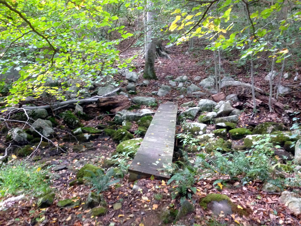
Once at the bottom. you can head across a footbridge over a rocky (dry) streambed and head north.  This is a fairly rugged trail. Below are photos of two more footbridges on the north loop.
 Most of the trail is fairly rough and granite strewn but for a short bit it is boulder-free and flat
 One more foot bridge!

It took me a while to figure out why the kiosk wasn't making much sense. Turns out the red paint for the Red Trail was missing. I have digitally added the Red Trail on the photo below. The main Yellow Trail is being closed due to the serious erosion issues.

White Trail Loop

The White Trail loops around north of the kiosk. It is a much easier trail..

Where the White meets the fire road there are some great granite remnants of the old quarry. Quarry operations ceased at the turn of the century but during the 18th century, the quarry produced millstones for grinding rye and corn in local grist mills. During the 19th century, gneiss was quarried for use as steps and foundations for buildings in the area.  Gneiss is a metamorphic rock, generally made up of bands that differ in color and composition, some bands being rich in feldspar and quartz, others rich in hornblende or mica.
Note drill holes
 From this point, its a short jaunt on the fire road back to the parking lot.

Further Info:


Saturday, June 11, 2016

Quarry Head and the New Reroute at Mianus

Quarry Head

I had some Corp IT work I had to run in the morning but I got over this park to help build trails late morning. Its an interesting place. There are remnants of the former land owner's summer house abandoned in 1988.
You can see Long Island on the horizon on clear day from this spot!
It's hard to tell from this photo but there is quite a drop off here. Note the compass etched in stone.

As soon as we finished the trail work, there was an enormous heavy downpour and my plans to ride the new reroute over in Mianus seemed unrealistic.

The heavy rain kept up for quite a while so I opted for a fancy pizza and beer at Stamford Coalhouse Pizza (expensive for lunch but exquisite!) and waited it out until the rain cleared.

Mianus

I got to Mianus and the sun peaked out off and on, The forest was a freakin' steam bath and I stupidly had long jeans and my rain parka so I was dripping...

But I got to the new reroute on Indian Rock. I didn't clean it first time but I'll be back. It does not seem impossible (even for a XC weening like me!)
The new way up
(old trail on the right)
Looking back midway up
Looking up -  midway up

This is a great trail!