Today I hiked a bit of the "Mesh" (Meshomasic State Forest). I parked at the end of Clark Hill Road and used the AllTrails map app.
The Adventure
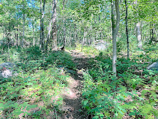
The trail in was mostly old eroded double track with some nice slick rock sections.
 |
| large glacial erratics |
I somehow got off the trail indicated on the All Trails map so when this offshoot northward-bound trail appeared on the left, I took it. It was a climb!
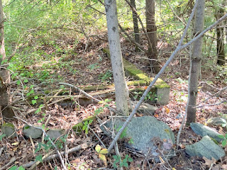
Once I neared the cross trails section indicated on the map, lots of building ruins started appearing...
...and the trails turned to asphalt!
There was also this interesting round metal ruin:
 |
| inside |
At the "T" on the map, I took a short left on the asphalt trail but the best was yet to come!
.I shortly came to a huge open field where I could see the silo! Yeah!!
I gingerly walked thru the tall meadow (there are rattlesnakes here--truthfully I was a little scared)! which brought me to the silo...
....where I snuck thru the fence :-)
 |
| Sign: "Caution Radiation" |
 |
| 10 second self timer! |
-Short video-
Google Aerial Views
It was once again a fascinating but chilling reminder of the 60s and what ii was like living during the cold war.
Further Info
The launch site housed a guard station, barracks, missile battery area, and a medical office. The control site also housed guard stations, barracks, and a large metal tank suspected to hold water.
All that remains at both sites today are foundations, concrete stairs, floor tiles, hatchways leading underground, and scraps of metal equipment.