Monday, May 31, 2021
Friday, May 21, 2021
Awesome! (Cotton Hollow)
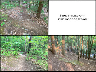
I ventured in from an Emergency Access road and hiked down to the huge dam ruins. I then ventured back all along the river. Every step of the way was awesome!
Descending on the Access Road
 |
| ARC GIS map |
Arriving at the Former Dam
The old mill ruins are down a few hundred feet or so but I will chart that another day. The side ledges here were spectacular...
Historical Photo
 |
| Yep further downstream there was a former 60ft high dam! Details > |
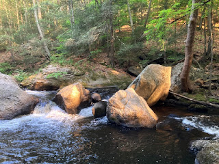
Walking upstream along the river
 |
| Yep - that's a natural sandy beach! |
Tuesday, May 18, 2021
Exploring Trails off of the Glastonbury Multi-use Trail
Sunday, May 16, 2021
Just a short walk down the road!
Amazingly--just a short walk down the road from our house--we visited a spectacular old dam and hiked on a beautiful river-side trail. Roaring Brook was a bustling industrial powerhouse for a huge number of mills back in the 1800s!
The Brainard Pond (a..k.a.Smut Pond) Dam
About the dam and early industry in the area.
Along the hillside there are ruins of the old forge and mill buildings
The spillway!
Further on, the mossy rock-strewn landscape and riverbed were quite beautiful
 |
| 1869 |
 |
| 1899 |
Known as the Smut Pond Dam, the impoundment dates to possibly the 1700s, when it helped to power the forge. In the mid-1970s, the dam was repaired and renovated to its original state. The area derives its name from the smoke and soot conditions produced by the forge and other industries in the area."The original forge site was purchased in about 1850 by the Hartford Manufacturing Co." The company, the story said, "built two mills to produce cotton textiles. Later the mills were taken over by other companies and operations continued through most of the 19th century. The site was eventually deeded to the town by the J.T. Slocomb Co. in 1967." - Peter Marketa - The Hartford Courant
 |
| Yep thats a railroad across the pond! Cavanna's Farm - Gray Granite Railroad |
Along the hillside there are ruins of the old forge and mill buildings
The spillway!
short video...
Yep- its visible in the Google Maps Aerial View!
The Stream-side Hike
Evidence of the retaining wall for the old roadway and/or foundation other mills houses were right along the trail...
 |
| the spillway |
 |
| an old well |
 |
| a secret spot... |
 |
| Cris was quite the intrepid hiker (especially for someone who "hates the woods") |
Additional Info
- Smut Pond Dam (Lost Glastonbury)
- Magical Mystery Tour Of Lost Mills And Dams
Subscribe to:
Comments (Atom)


