I was curious about this pseudo new trail that continued up the ridge (green dotted line), so I hiked in today in the mid afternoon to check it out...
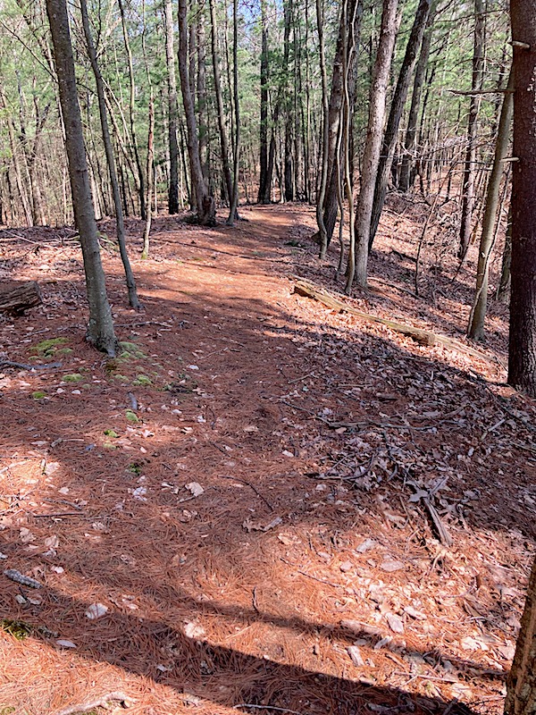
 |
| Looking north |
 |
| looking back south near where it ends... |
 |
| It kinda connects to the main spur where it curves... |
 |
| ...but there is deadfall at that spot |
Its too steep to make a new mountain bike trail so I hope it gets left alone for hikers..
Back at the start of the lower artery at
Keeney Street....
 |
| the old signpost looks like it might have been an official trail at some point! |


No comments:
Post a Comment