My mountain bike was in the shop so I decided to hike
Pine Mountain and
Wooster Mountain located west of Danbury. I parked at the lot at the end of Pine Mountain Road.
 |
| Pine Mountain Parking Lot |
Ascending the Yellow Trail
The Yellow Trail ascent is steep and littered with rock gardens - not a biking route for sure...
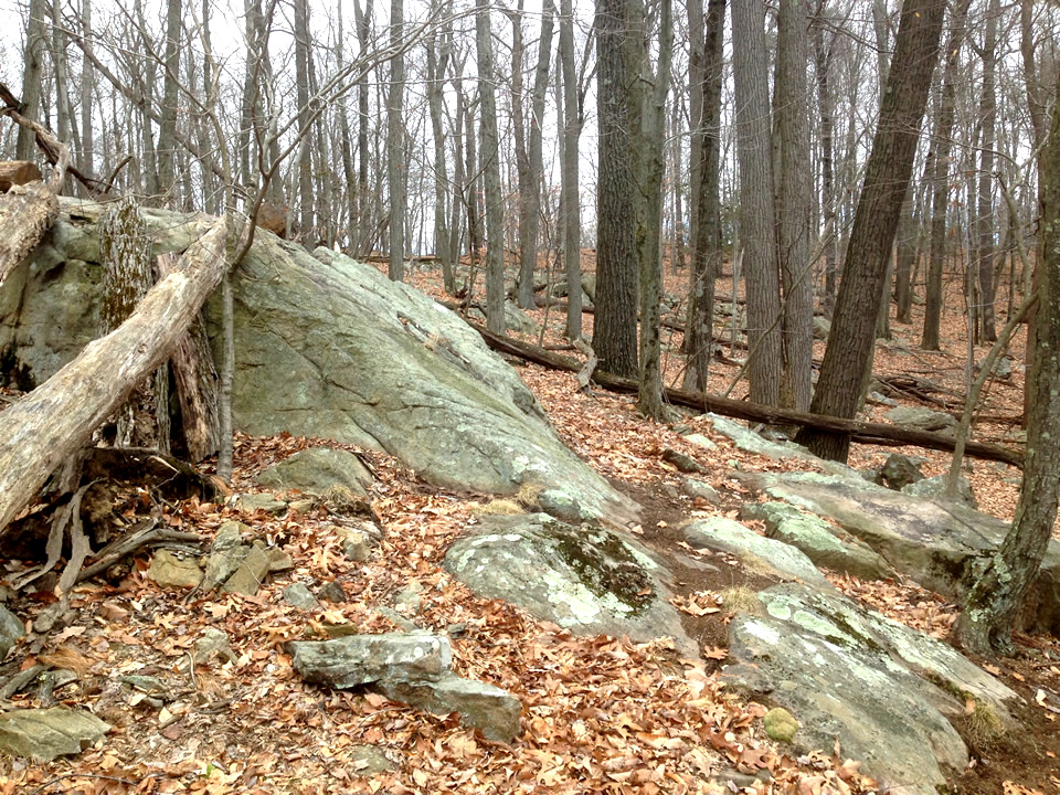
 |
| Glacial Erratic |
 |
| Rocky Ascent |
 |
| Glacial Erratic |
 |
| The Rocky Ascent goes on ... and on... |
 |
| Another Glacial Erratic |
At Pine Mountain
Once at the lookout, the trail mellows out (not so steep and rocky).
 |
| At the Lookout |
 |
| It's actually a long way down! |
 |
| The main trail is well blazed |
 |
| The Chimney Ruins |
 |
| Kinda cool... |
On the Red Trail
Going eastward from Pine Mountain you descend a bit thru a marshy valley. I choose to head northeastward on the
Red Trail.
 |
| Yet on more enormous Glacial Erratic |
 |
| I turned around here |
The Big Rock
I back tracked to check out a section (looking northward) with more trails. I scurried over to photograph this big rock. Very cool!!
Back on the Ives Trail
I back tracked some more and turned south on the
Ives Trail. It gradually ascended on a picturesque ridge
 |
| Yep! A Glacial Erratic |
Then I veered off to the right to head back down to the pond, passing a derelict tree stand on the way.
Biker's Delight
I veered of the main trail to follow a recently leaf blown biker trail. Of course now I wanna ride it!
 |
| Strange pipes ?! |
Final descent...
 |
Back on the main trail descent
(an old fire road) |
North Side of Bennetts Pond
The trail along the north side of the pond must be beautiful on a warm sunny day. Although there are some really rocky sections that would be tough to bike, other sections look awesome!
 |
| This was my favorite stretch! |
The battery died on my phone so no more photos. I headed west and slogged up the second
Red Trail then back out on the rock-strewn
Yellow Trail.


No comments:
Post a Comment