Sunday, July 5, 2015

Farrington Woods - Lower Trail

After seeing the photos back in April of the machine-built section on the lower trail, my curiosity was piqued and I had to check it out!

So I rode in, first having a blast on the trails by the parking lot...
Trail Section from the parking lot
...then I rode over to the fireplace by the pond before heading up to the lower loop.
Trails I took (FCNEMBA Map)
Old Fireplace by the Pond
Sanford Pond
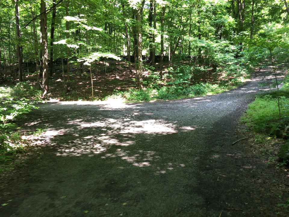
The first section of the lower trails off the fireroad are easy to miss (I did :-( ). No climbing to speak of here but the twists and turns sure beat riding the fireroad.
Where to start the Lower trail is easy to miss
The second section quickly climbs a small ridge with a series of switchbacks and brings you to a ridge that parallels the pond. It is very picturesque.
The View of the Pond from the start of the Ridge
Along the Ridge (Pond is on the right)
There's a section where you tightly squeeze thru a bunch of trees. Very nice!
Riding between the trees is fun
When you hit the machine-built section, you are flyng - there is no way to stop for a photo! :-)
Map My Ride GPS
The trail in and the rail out of the loop are very close to each other
The trail keeps flowing and you loop back--often only a few feet from the fireroad and only a few feet more from the trail you just came in on as well.

Its a good ride - there are lots of up and downs and tight curves to keep it focused and fun - definitely coming back for another shot at this !


Saturday, June 27, 2015

New Berms at Trumbull (Pequonnock Valley)

It was a Productive day for the combined efforts of the  FCNEMBA trail crew and the local freeriders (a.k.a. the Pequonnock Valley Trail Care team).

(1) Two berms were built on the red trail and (2) the jump further up the trail was built out and the rough rooty trail tread below it smoothed out. 25 to 30 folks showed up to help and the weather was cool and cooperative!
starting the new berm
stripping down the lower berm to beef it up with rocks
the uphill jump was subsequently built up with massive rock work
moving monster rocks
progress on the new (main) berm
progress on beefing up the lower berm
our best friend Mick the beer man rode in with a cooler full of beer!
tasty and tantalizing (ooo naught nurse!)
The culmination of the trail session was seeing "lightening James" do the test run!


Sunday, June 21, 2015

909 acres (and 909 bugs in my face!)

On the way back from spending a Father’s Day morning with my Dad (frail but still alive and kicking at 93!), I stopped back at 909 to better orient myself with the trails that veer off the main east-west fire road. I parked at the Taconic State Parkway lot. Due to the overbearing humidity, previous heavy rains and a still defunct Camelbak bladder, I wisely decided to hike in rather than bike.
The fire road was covered with huge puddles and--under the canopy of the forest--it was like a sauna.  Frustratingly for most of my hike I was swarmed with an endless amount (909 of ‘em?) of bugs in my face. Not too many were biting but it was tough to take photos as they were constantly in my eyes  -- hence a couple of out of focus photos! I even inadvertently swallowed a few bugs (not too tasty!).
The Fire Road
Swampy and Wet!
I snapped photos of trail intersections as I made my way east and – to the best of my ability- tried to match them with location on the map.
1 - Trail Intersection
2 - Trail Intersection
3 - Trail Intersection
The Fire Road Continues

Part way in, I noticed remnants of an old dam – perhaps the marshy area behind it was an old mill pond ages ago…?
Dam Remnants
This 1876 Map reveals there was once a lake (pond)  and other buildings in the vicinity...
1876 Map of the area
Fire Road Curves 
Two Fire Roads intersect - not on map
but noted on the historical map
Where Brockway meets the main road

The chimney area was a lot more overgrown than when I last visited (years ago) and I noticed some interesting other cement relics (antenna foundation?) nearby. A couple of trails leading northward behind the chimney were noted as well.
At the Chimney area
Close up - Antenna Foundation?
4- Trail behind Chimney
5 - Another Trail behind Chimney


The entrance to Byk Head strangely wasn’t well marked but I made a mental note of the intersection as I intended to ride it again sometime. I rode it years ago with my son and remembered it was awesome.
Byk Head Intersection
Where Byk Head Starts
The Fire Road continues to climb...
6 - Trail Intersection
7 - Trail Intersection
My destination was the double track loop Horseshoe and as I made my way down the south part of Horseshoe’s  wide curve, three mountain bikers whizzed by – my first encounter with anyone else in the park!
Horseshoe is a double tack (jeep road)
7- Beaver veers off (easy to miss!)
I noticed a couple of double track trails off to the left. The park is riddled with vestiges of old roads- probably part of (as I understand…) still active lumbering.
Horseshoe
8 - Double Track veers off downhill
8 - The second double track veering off
9 - Beaver intersection
Horseshoe rejoins the main road

Next, on my descent back down the fire road, I veered off on a single track to the right and wandered on this for a while. It was great- super flowy XC trail with the occasional terrain challenges here and there. I encountered a couple of bikers on this trail who said it was called "Mary Murphy". It looks like a fun trail to ride...
A section runs somewhat parallel to the Fire Road
Finally I noted Mary Murphy merged with Anthill, the trail I was on Friday. I hiked onto Brockway and made my way back to the car.


Summary
Despite the swarms of bugs – it was a productive trek. I made a couple of corrections to the map based on my on site observations and know which trails to ride whenever I return!