Bennetts Pond/ Hemlock Hills / Pine Mountain
Ridgefield /Danbury CT
Interactive Map >It was a grey and overcast day with a forecast of rain and I didn’t get started until about 12:15. I wanted to check out Yellow Trail in the Pine Mountain Section of the park. I opted to park at the end on Pine Mountain Road and once I realized I forgot the batteries for my camera I decided not to bike but hike in instead. At least I would have the crappy camera on a tablet I had with me rather than nothing...
Hiking--rather than biking--turned out was a wise decision in the end… I first trekked straight south from the parking lot (green arrows) and marveled at the huge descent and ascent. I only realized when I got to the Blue Trail intersection that I went the wrong way I had been here before a few weeks ago). DUH!
But I trekked back to the car and chatted with a hiker in the parking lot. Turns out I got off to a rough start when I asked if he was English (He had a strong accent...) -- Nope he was Scottish! Fortunately he didn’t hold a grudge and offered to hike with me around the Yellow as he had been hiking here hundreds of times and knew the park well.
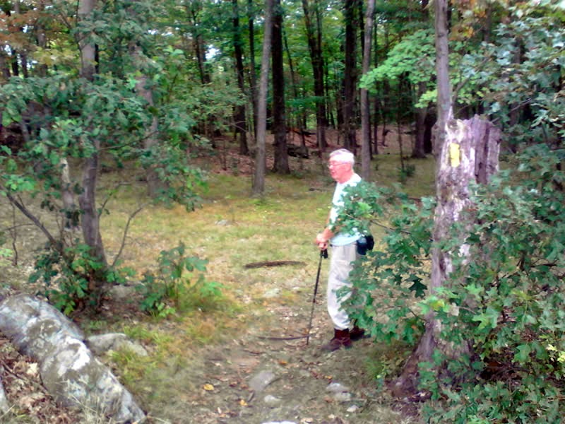
Well he was a chatterbox but quite endearing with his storytelling and wry Scottish humor! :-) We hiked in, taking the Brown Trail detour and stopped at the Overlook. Sadly, it was overcast but John pointed out where you could see Long Island Sound in the distance.
As you can see below, the photos came out pretty crummy. Although it was overcast, the real issue was it was very difficult to hold the tablet steady enough to get a sharp picture, Oh well - checking the camera to ensure it has batteries is on the "before I leave home checklist" from now on.
Once you reach the Overlook, the forest is fairly clear of an understory and the trail is marvelous - traversing slick rock and a few rocky sections here and there but it is mainly a flowy trail curving thru grass and/or pine needles.
I noticed some square rocks off the the side - wondering if they were some kind of surveyor remnants or whatever... (??)
A little later I noticed this interesting ladder (a deer hunter platform?)
John offered to take a photo of me next to a fallen tree
The whole area is peppered with all kinds of enormous glacial erratics - pretty amazing when you take note you are on top of a mountain!
John was strong but not strong enough! :-)
A short bushwack took us to the remnants of an old airplane tower. There are four footings at the top of a hill. I reckon with the Danbury Airport just north of the mountain - this was an important signal tower for low-flying planes...
Another interesting surveyor's stone I reckon, right off to the side of the trail.
Finally we arrived at the chimney ruins - sadly half the size as it use to be John tells me due to vandals tearing down the top and use the large rocks for a fire pit. Damn you - this is priceless history.... [see historical photos > ]
This was Charles Ives' hang out - he loved the woods as well :-)
Super Short Video (Highlights)
When we got 3 minutes away from the parking lot on our jaunt back - it started to pour. I'd call that a lucky break!


No comments:
Post a Comment