Today I returned to continue yesterday's trek -- hiking and GPSing the trails at Old Mine Park. I parked in the back, at the end of Corporate Drive and scouted out most of the rest of the park before my camera battery died. (It's an old phone so it seems 2 to 2 1/2 hours is all it lasts these days - bummer... )
There are some really nice XC trails in the back section.
My travels took me eventually down the double-tracked carriage road on the west side and by the old mine.
After making a full loop down to the bottom and back up again, I eventually circled onto a trail that goes to the very top of the main mine hill.
It skirts the edge and is quite scenic, but...
... it ends up going straight down a 60 ft plus ridiculously steep incline (see below) which--needless to say--was insane to traverse in the slippery snow and ice. I nearly lost it a couple of times!
Suffice to say, this section of the trail is dangerous and marked on the map as dashes that eventually dissipate into dots. Perhaps there's a loop up top that I missed - I certainly hope so, as the rest of the trail up top was magnificent.
One More Ascent!
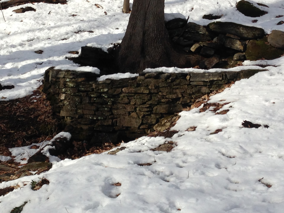
I ascended the east side double track one more time to GPS the trail that goes east over the stream...
and got a chance to take another photo of the curved dam. This time the snow had melted a bit so it was a little easier to discern the stonework from the photo.
Lastly I snapped two large burls on the same tree. Poor thing!
Well the map is near completion. The trail farthest to the west needs GPSing and there are a few more I missed but progress is good :-)


No comments:
Post a Comment