On Sunday we traveled up to Massachusetts to load up the structures and wood Wild Bill was donating.


It was a long day but the crew was great and we had fun!
On Sunday we traveled up to Massachusetts to load up the structures and wood Wild Bill was donating.
It was a long day but the crew was great and we had fun!
Before our Bike Chapter Meeting I rode a quickie at West Rock. It was late afternoon and it was already getting dark :-(

No photos this time...
It was cloudy, overcast and still wet from the last couple of days rain. Since conditions were not good for biking, I ventured into the woods on foot, hiking up to the Salmon River ravine and back. It got so hot and humid I only need my t-shirt!


Ages ago I rode here but don't remember much of anything. I popped down to North Haven to check out the park and had good intentions to ride Peter's Rock as well.
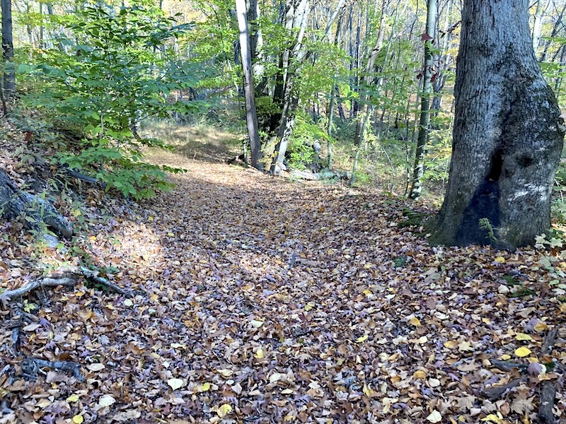
I parked at the Lake Wintergreen lot and headed north - all the way to Form Book Reservoir. It was a beautiful and a lovely ride. The first trail: Glenwoods was practically invisible with all the leaf cover and I veered off trail TOO many times!
The Red Trail (The Shire) was amazing and appropriately named as sections felt like you were in a Tolkien movie! After reaching Form Book Reservoir, I decided to head back and after a long and steady climb up the access road, a bomb downwards after the turn was a welcome relief.
Lastly, I capped off the ride with a loop around Lake Wintergreen.


 |
| See the heart? |
 |
| I turned around here |


 |
| Not great pictures "The Shire" |


 |
| The 3 photos above are at Lake Wintergreen |
I headed over to Peter's Rock and chowed down at the pizza place across from the entrance. I had a 12" chicken parmesan sub and a Sam Adams lager. Oops - I felt like a tired slug when I hit the trails at Peter's Rock and "petered out" [pun intended] after just doing the Round and Round loop. Shame!


After yesterday's hike and visual confirmation of the old road, I decided to go back and visit the west side of the stream and look for the crossing.
 |
| Green Rectangle is enlarged below |