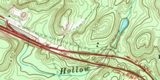
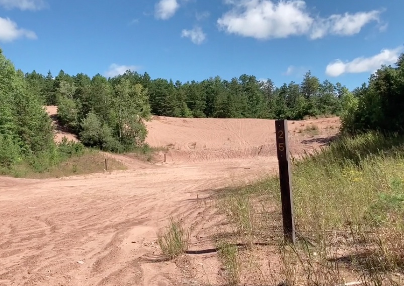
I was curious when I discovered online there was an abandoned road nearby. It was even an official trail found on Trailforks! Not sure of the conditions, I rode it on my mountain bike rather than a road bike. It turns out that was smart move as there are lot of other connecting trails that require a mountain bike.
 |
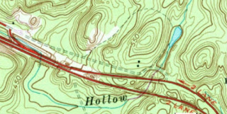
| Trailforks Map |
 |
| Elevation |
The Ride
The main section is primarily worn concrete and a long but manageable uphill climb. Once the concrete disappears, its basically an old eroded fire road / jeep trail.
Just after the apex of the hill there's an interesting ruin to explore
 |
| One wonders if these columns were supports for a raised building (very strange) |
Once the pavement stopped, it was double track dirt:
As the trail the curved northward, I rode up the hill a bit. It continues on to the Case Mountain Area. There are quite a few choices of trails to explore here. I turned around where the blue circle exists on the map but I will definitely be back.
Here's a crude panorama of the intersection I had passed. At this point, a trail leads under the main highway and up to the main part of the
Meshomasic State Forest.It was a crazy steep trail down to the culvert
And getting under the highway through the culvert was impossible due to the high water!
Looking back up the stream to the abandoned road
After climbing back up to the abandoned road, on the way back out, I stopped to see the Gun Shooting Range just off the northside of the trail.
Next trip here might be via road bike. I would be fun to shoot a one-handed video bombing down the hill on the abandoned road...
New London Turnpike History
"Between 1792 and 1839, Connecticut chartered about 100 private turnpike corporations and, collectively, these turnpike companies constructed a network of 1,600 miles of toll roads throughout the state. This amounted to more than 40% of all turnpike mileage in New England. Competition among the many commercial centers and port cities in Connecticut was one reason that so small a state was eventually covered with an extensive web of toll highways."
SourceTwo early toll roads, the
Hartford and New London Turnpike and the
Colchester and Norwich Turnpike, followed the alignment of current Route 2 in the 1800s. Tollgate Road in Glastonbury is part of old Route 2, which was bypassed in 1964 when the freeway opened. This segment, with no properties along its route, was made redundant by the new freeway and abandoned.


 Map of the former narrow gauge railway


 ... all shapes and sizes including a couple of octagonals!
 Lastly, I stopped to check out the ancient "stone arch". It was pulled by oxen and used to transport the large brownstones.